|
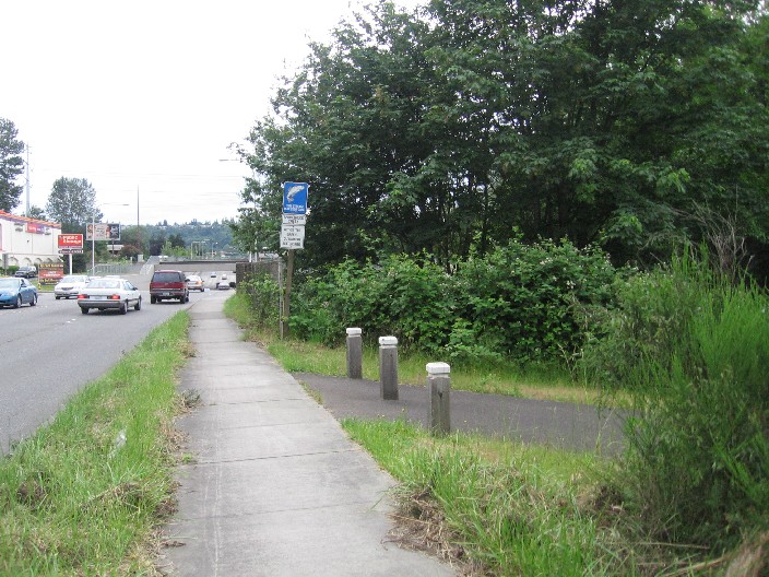
This short trail follows the Springbrook Creek. There are few bikers, but you may see the occasional walker. The trail heads through a tunnel of greenery, providing a serene alternative to Oakesdale Ave. Recent construction has improved the segment under I-405, which winds from Grady Way to SW 16th St. An additional segment of trail labeled "Springbrook Creek Trail" continues on the south side of SW 16th St, where trail users are admonished to detour 1/2 block to cross at the light. This portion of trail continues under Oakesdale and forks -- one branch coming out near a daycare center on Oakesdale, and the other continuing on. The trail from this point is discontinuous, with little bits of trail ending without warning. See the Renton Bike Map for a trail map.
|
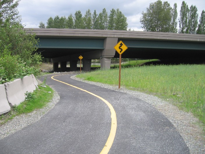
Crossing under I-405
|
Location: King County
City(s): Renton, WA
|
Length: 2.3 miles.
Approx, discontinuous
|
Popularity: Less
|
Elevation: south to north
Gain
60
Loss
20 |
|
Facilities |
Trail Condition |
|
Drinking Water:
No
Restrooms:
No
Benches:
Yes
Picnic Tables:
No
|
Surface Type:
Paved
Surface Quality:
8
Scenery:
7
Lighting:
0
|
Ratings: 0 = none/ the worst
5 = average
10 = excellent
|
|
Maps:
Burien SeaTac Tukwila Park Map
King County Bike Map
Renton Bike Map
|
Connections:
1. Connect to the Interurban/ Green River/ Duwamish River Trails via Grady Way
|
Directions: The trail parallels Oakesdale Ave near Grady Way. The northern trailhead is at the western end of 7th St, just across a bridge. Other trail access points include Grady Way, Oakesdale Ave and SW 16th St. An unpaved trail continues north of S 143rd St through the Black River Riparian Forest.
|
Photo Gallery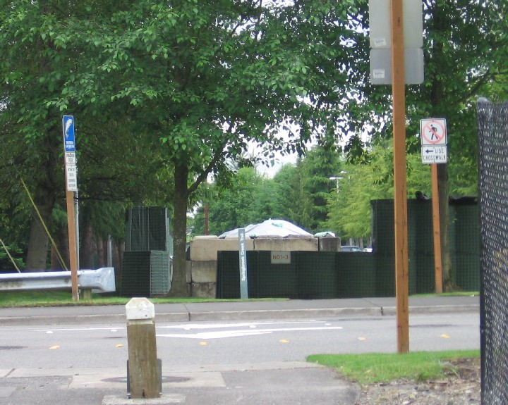
Trail continues on the other side of SW 16th St. Cross at crosswalk.
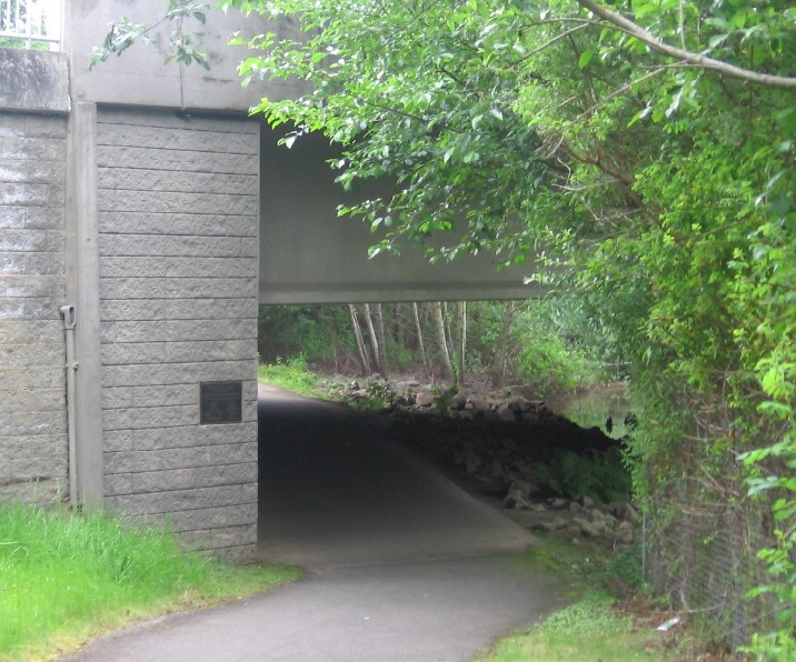
Going under Lind Ave
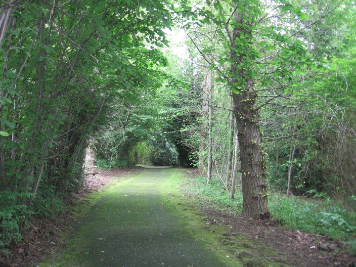
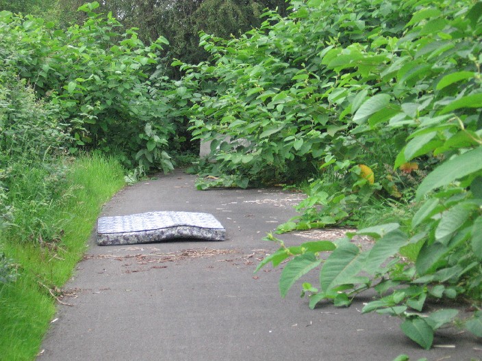
A shadowy trail through the woods.
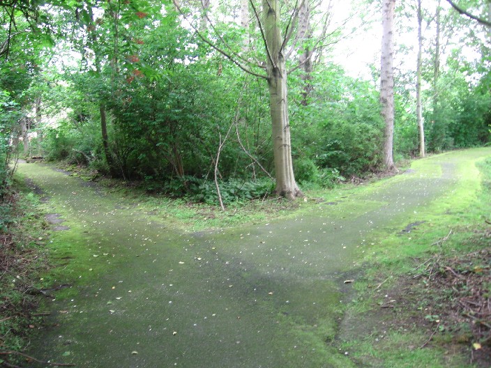
Right fork goes to Lind. Left fork continues on.
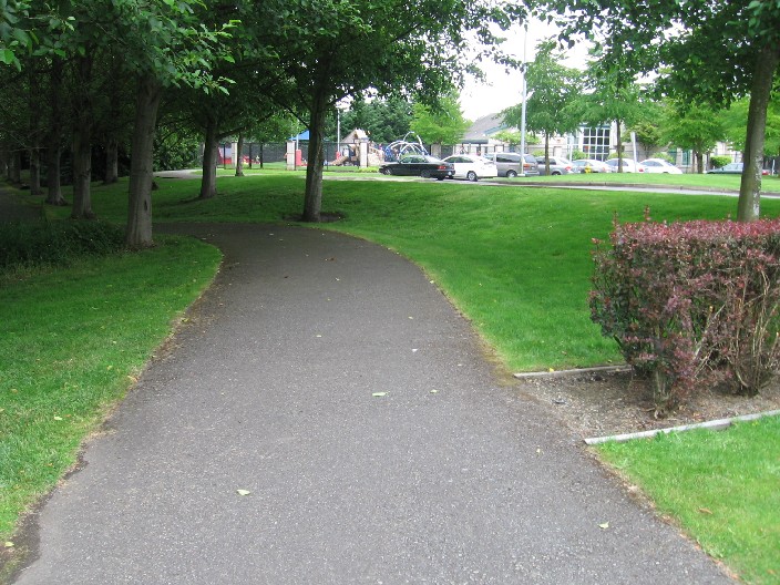
Entrance off the east side of Lind Ave is next to a day care center.
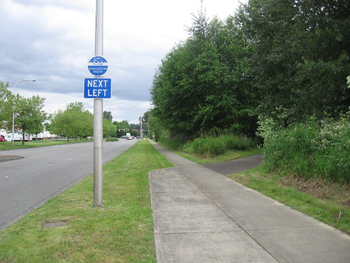
Another segment of trail begins promisingly enough near SW 41st and Oakesdale…
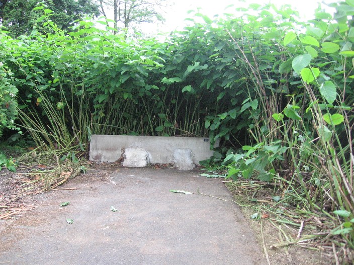
…But unceremoniously ends in tall brush.
Similarly, the trailhead off SW 43rd Street…
…Barely goes 100 feet before ending. Naptime, anyone?
|