|
Trail cuts through an industrial area and follows the Duwamish River from Harbor Island to Fort Dent Park. Some streets are included in this trail, though the signs on the streets indicating the route are not to be found. Watch out for trucks on the north section - there are several trail crossings. When looking at various websites, it seems this trail is misunderstood. On the King County Bike Map it shows as about 1.5 miles long. On the City of Tukwila's map it's lumped in with the Green River Trail. Even on the city of Seattle's maps it appears to end at the First Ave South Bridge. New bike signs in Seattle call it the Duwamish Route south of the paved trail sections. From what I've been able to determine, the Duwamish Route ends at S 102nd St where the Green River Trail begins.
|
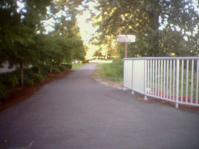
Junction of Duwamish Trail (straight) and Interurban Trail (right)
|
Location: King County
City(s): Seattle, Tukwila, WA
|
Length: 11 miles.
|
Popularity: Somewhat
|
Elevation: Flat
Gain
Loss
|
|
Facilities |
Trail Condition |
|
Drinking Water:
No
Restrooms:
No
Benches:
Yes
Picnic Tables:
Yes
|
Surface Type:
Paved
Surface Quality:
4
Scenery:
3
Lighting:
2
|
Ratings: 0 = none/ the worst
5 = average
10 = excellent
|
|
Maps:
Burien SeaTac Tukwila Park Map
Duwamish w/ oth proposed trail
First Ave South Bridge map
King County Bike Map
Tukwila section of trail
|
Connections:
1. Connects to the Green River Trail to the south.
2. Connects to Alki Trail underneath the West Seattle Bridge.
3. Connects to West Seattle Bridge Trail underneath the West Seattle Bridge.
|
Photo Gallery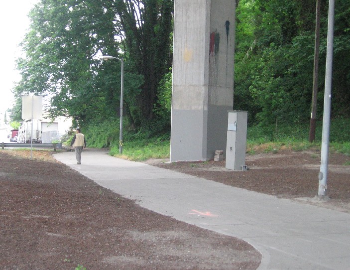
The northern end starts from underneath the West Seattle Bridge

Junction of Duwamish, West Seattle Bridge and Alki trails
|