|
The western trailhead branches off from the East Lake Sammamish Trail just north of the I-90 overpass. The trail is paved on its western side, and parallels the freeway, crossing Front St. near the freeway entrance. The trail is fairly level until you reach the end of 1st Ave, at which point the grade increases to about 7% for a short time. After this short burst of elevation the trail climbs at a more gradual 2 or 3% grade. This trail crosses through a tunnel under the Issaquah Highlands bike trail that heads up to the Plateau. The main trail continues on to the left with a gravel/ dirt surface, passing through the woods as it parallels I-90. The trail crosses a small bridge and anti-car gate at a gravel parking lot next to 270th Ave SE. On this section of trail you are about as likely to see deer as people. A new extra mile of gravel trail hugs the side of the freeway and provides an alternative to narrow 270th Ave. Trail signs call this the "Issaquah - Preston Trail" although some older articles/ maps call it "Issaquah Creek Trail" or "Issaquah - High Point Regional Connector".
|
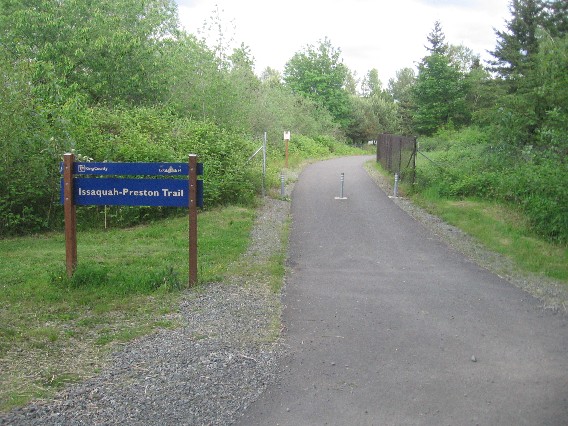
The western trailhead at the East Sammamish River Trail junction.
|
Location: King County
City(s): Issaquah, WA
|
Length: 4.6 miles.
|
Popularity: Somewhat
|
Elevation: west to east
Gain
450
Loss
0 |
|
Facilities |
Trail Condition |
|
Drinking Water:
No
Restrooms:
No
Benches:
No
Picnic Tables:
No
|
Surface Type:
Mixed
Surface Quality:
9
Scenery:
6
Lighting:
1
|
Ratings: 0 = none/ the worst
5 = average
10 = excellent
|
Website: http://mtsgreenway.org/our-work/outdoor-recreation-1/regional-trails/issaquah-preston-trail/issaquah-preston-trail-2
|
Maps:
Bicycle Issaquah Map
Grand Ridge Park trail map
King County Bike Map
Opening of trail connector
Trail opening announcement
|
Connections:
1. Connects to the south end of the East Lake Sammamish Trail
2. Western trailhead is about 100 feet south of the southeastern end of the Pickering Trail.
3. Connects to SE High Point Way for further connection to the Preston - Snoqualmie Trail.
4. Connects to the Issaquah Highlands Trail near the tunnel.
|
Directions: Western trailhead: From the southern end of the East Lake Sammamish Trail in Issaquah, head north about 1/10 mile and turn right after the I-90 overpass. Eastern trailhead: Exit I-90 at Exit 20, turn left under the freeway, then left into a gravel parking lot. Head west from here, or east for a 1-mile section that leads towards the Preston-Snoqualmie Trail. (There is no trail sign at the parking lot, but the trail leads west from here over a bridge.)
|
Photo Gallery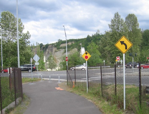
Trail crosses busy Front Street near the exit to I-90.
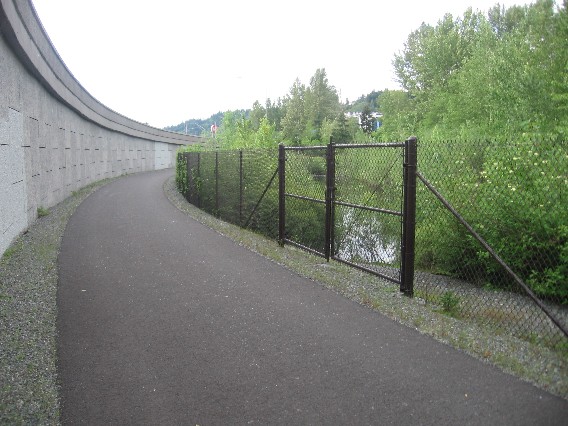
Looking back west at the retaining wall next to a drainage pond.
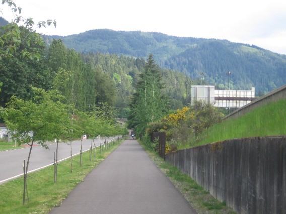
The trail parallels 1st Ave NE for awhile.
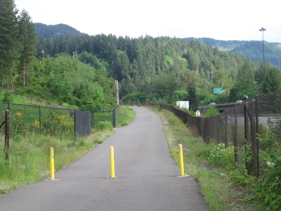
At the end of 1st Ave NE, the bollards signal that the climb is about to begin.
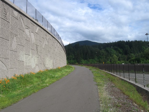
A leafy wall and a view of Tiger Mountain in the distance.
The approach to Sunset Boulevard's crossing over I-90.
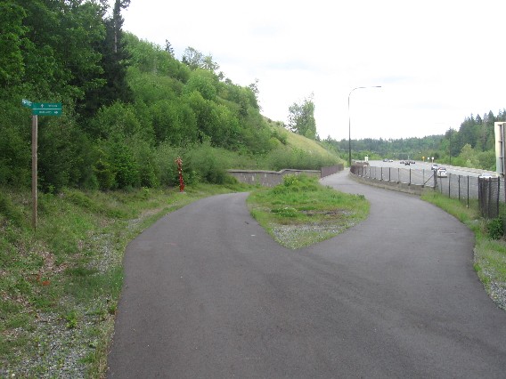
The high road to the Issaquah Highlands branches right, Preston-bound traffic to the left.
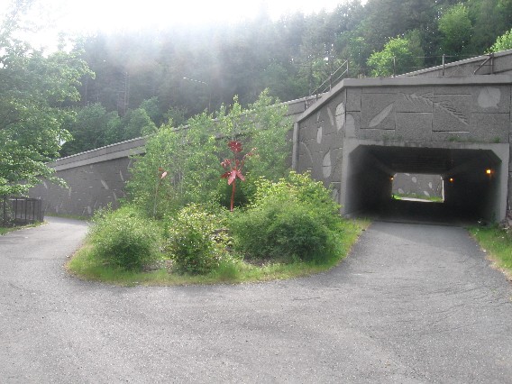
Facing west. Left trail goes to downtown Issaquah, tunnel trail heads back to Lake Sammamish.
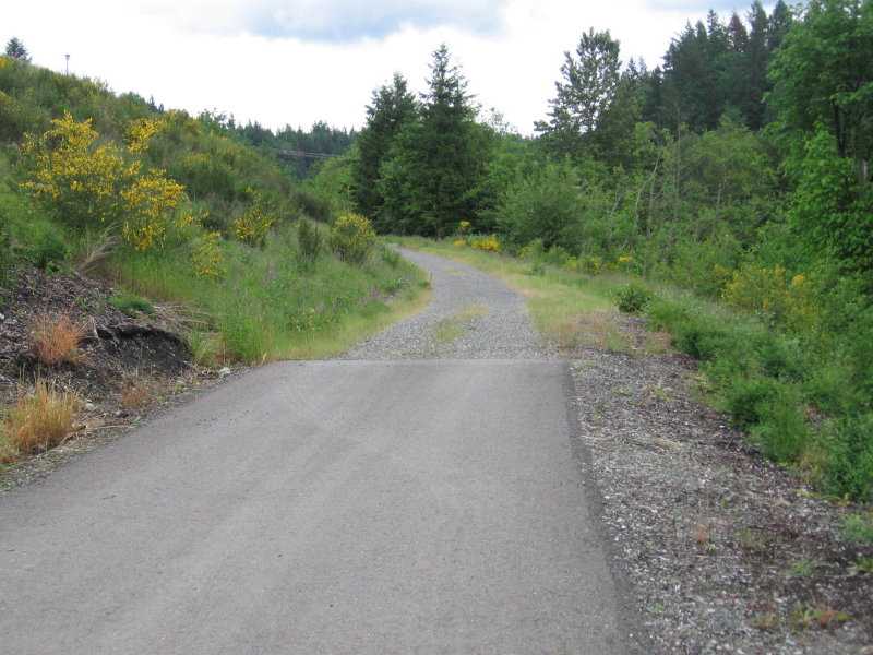
After the tunnel, the paving peters out in favor of a dirt/ gravel trail
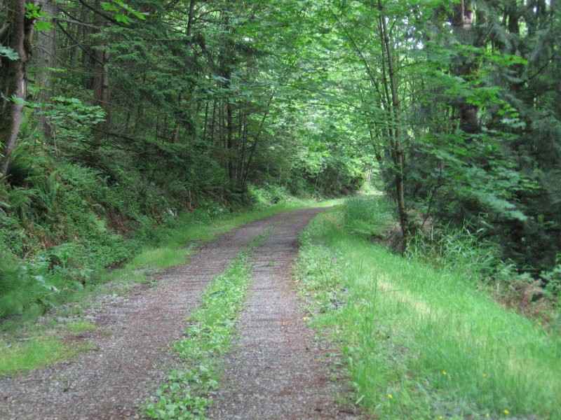
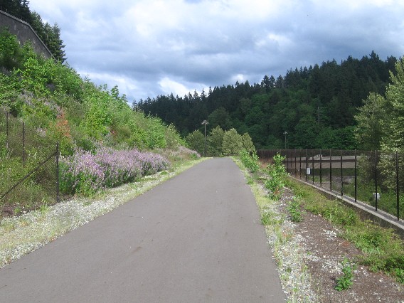
The western mile of the trail winds through shady woods.
A view of the freeway and a moment of sunlight.
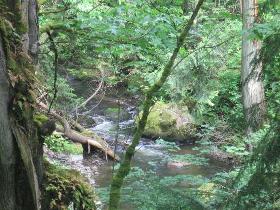
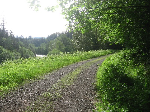
Peekaboo views of Issaquah Creek abound. Rushing water sounds battle car noise.
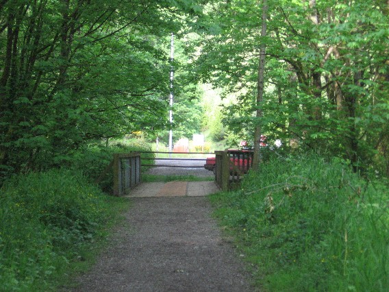
The eastern trailhead at High Point. There is a gravel parking lot here. The end.
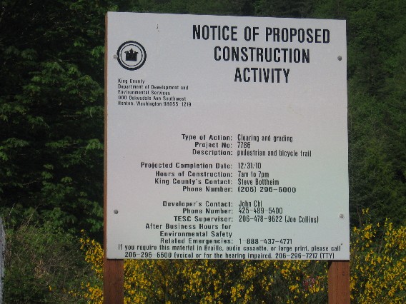
…Or is it? A new trail extension will start construction soon across the street.
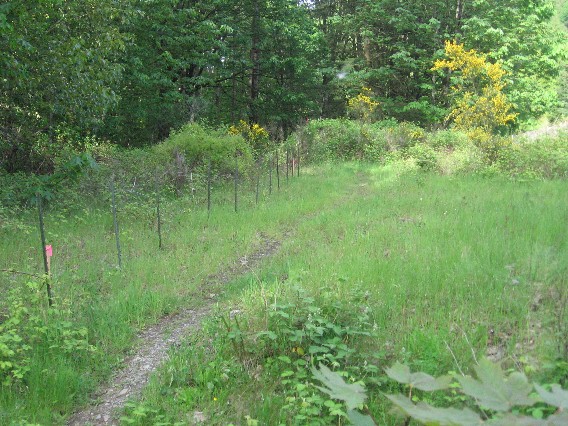
A pre-construction view of the start of the new extension, which will add 1.2 miles to the trail.
|