|
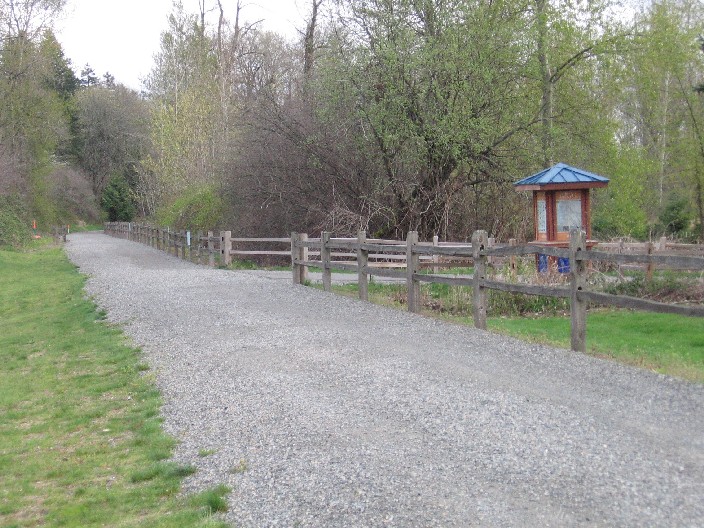
From near the junction of 520 & Fall City Road, this trail winds its way on an abandoned railroad track next to Marymoor Park southward through the city of Sammamish, ending in downtown Issaquah. The northernmost section is paved as far south as NE 70th St, and the southern end as far north as SE 43rd. Other sections are soft dirt/ gravel, and suitable for mountain bike or hybrid bike tires. An adventurous road biker would be happy with it too! The Sammamish section is open dawn to dusk.
|
Around mile 1, the trail links with the Marymoor Connector Trail.
|
Location: King County
City(s): Redmond, Issaquah, Sammamish, WA
|
Length: 10.8 miles.
|
Popularity: Rather
|
Elevation:
Gain
20
Loss
0 |
|
Facilities |
Trail Condition |
|
Drinking Water:
No
Restrooms:
Yes
Benches:
No
Picnic Tables:
No
|
Surface Type:
Unpaved
Surface Quality:
7
Scenery:
7
Lighting:
0
|
Ratings: 0 = none/ the worst
5 = average
10 = excellent
|
Website: http://www.kingcounty.gov/recreation/parks/trails/regionaltrailssystem/eastlakesammamish.aspx
|
Maps:
Article about the trail
Bicycle Issaquah Map
City of Sammamish trail page
King County Bike Map
Redmond Bike Map
|
Connections:
1. Connects to Sammamish River Trail via Marymoor Connector Trail near the north end of the trail.
2. Connects to the Issaquah - Preston Trail near its southern trailhead.
3. The northern end is near the Bear Creek Trail - head north and cross Redmond/Fall City Road next to Whole Foods. Turn left and follow the bike trail under 520, then turn right at the light to connect to the Bear Creek Trail.
4. Connects to the Rainier Multi-Use Trail and Maple-Juniper Trail at Gilman Blvd in Issaquah.
5. Connects to the Pickering Trail at its eastern trailhead.
|
Expansions:
1. The entire trail will be paved in the next 3 years, and new amenities such as restrooms, drinking fountains and additional parking areas added.
|
Directions: The northern end is behind the Redmond Inn. The southern trailhead starts from Gilman Blvd in Issaquah and heads north. Follow signs carefully - there is parking only in designated lots.
|
|
|