|
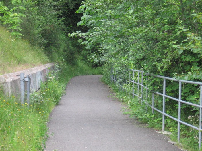
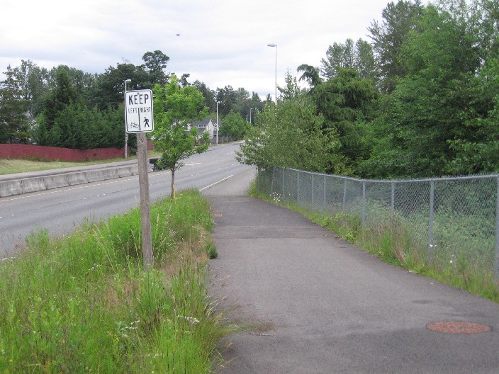
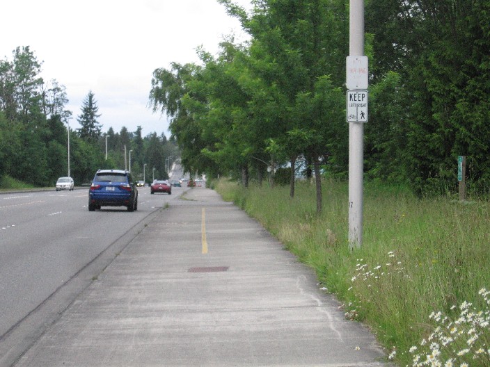
There are two segments of this trail. In the western section, this trail is like a roller coaster -- climbing up and over the railroad tracks and descending, only to repeat. The width here is about 8 feet. A side trail connects to the Interurban Trail on this segment. The eastern segment (The sign says "South 277th Corridor Recreational Trail") climbs the valley wall, switchbacking in multiple curves through the woods as it ascends. This portion of trail is narrower, at times just 4 feet wide and signs warn cyclists to use extreme caution and yield to pedestrians. At the top of the hill the trail once again rejoins the road, crossing over a street and descending a short hill. At this point the trail becomes a wide sidewalk, with frequent signs directing bikes to the left, pedestrians to the right. The road bends to the north and becomes 116th Ave SE, and the wider sidewalk ends at Kent-Kangely Road. Connecting the two segments is a bit tricky, since 277th Street becomes much narrower east of Auburn Way. There's a narrow bike lane on the south side of the road, but none on the north side and traffic is busy and fast.
|
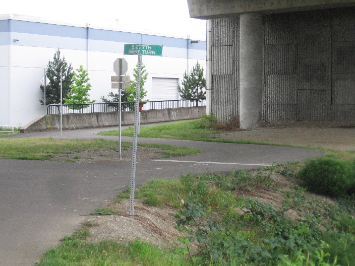
Junction of the 277th Street Trail and the Interurban Trail
|
Location: King County
City(s): Kent, Auburn, WA
|
Length: 3.5 miles.
includes road link
|
Popularity: Less
|
Elevation: West to east
Gain
420
Loss
100 |
|
Facilities |
Trail Condition |
|
Drinking Water:
No
Restrooms:
No
Benches:
Yes
Picnic Tables:
No
|
Surface Type:
Paved
Surface Quality:
8
Scenery:
4
Lighting:
1
|
Ratings: 0 = none/ the worst
5 = average
10 = excellent
|
Website: http://www.auburnwa.gov/community/Parks_Arts_Recreation/parks/Trails.asp
|
Maps:
Auburn Parks Map
Kent Bicycle Map
|
Connections:
1. Connects to the Interurban Trail at SE 277th St.
|
Photo Gallery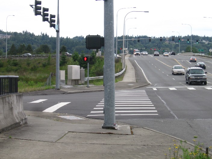
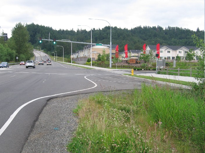
Western end of the trail near the Valley Freeway
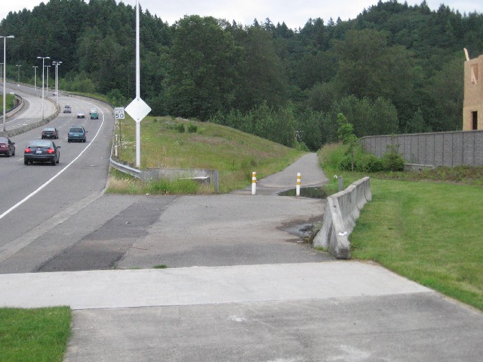
Heading down one overpass and up the next
Road narrows to 2-lane after Auburn Way
After about 1/2 mile of narrow lane, the way widens again
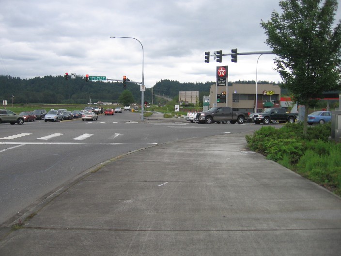
Trail heads south away from busy 277th Street
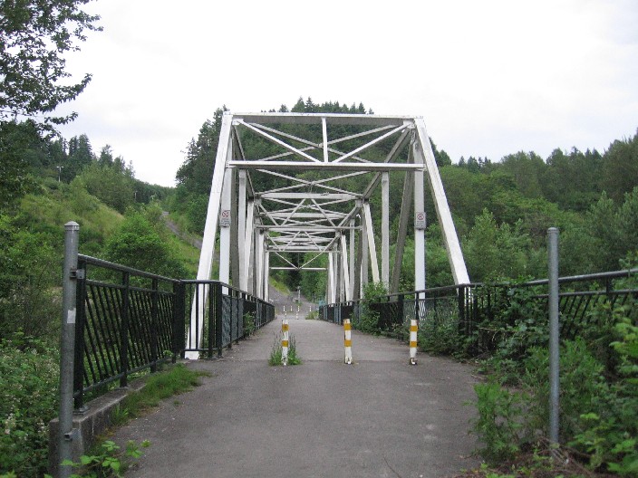
Bridge over the Green River
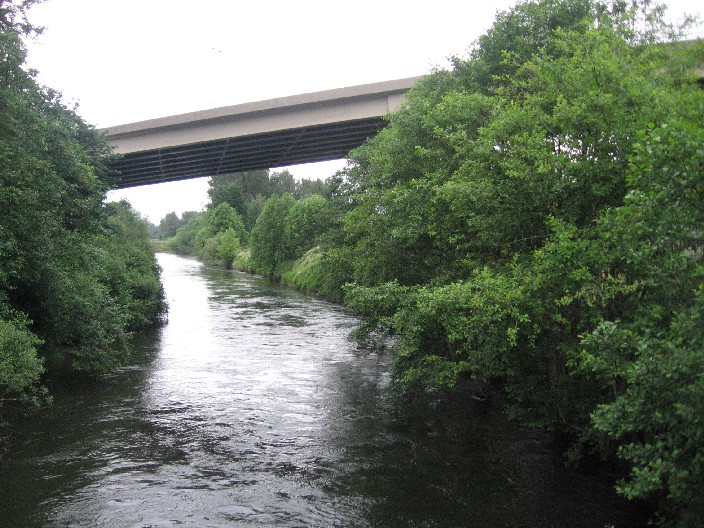
View from the bridge
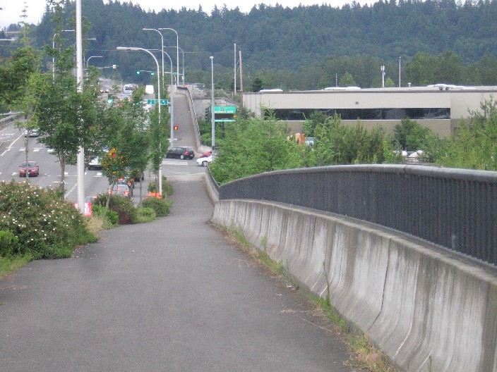
And now, the climb begins…
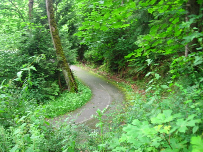
Switchbacking up the hill
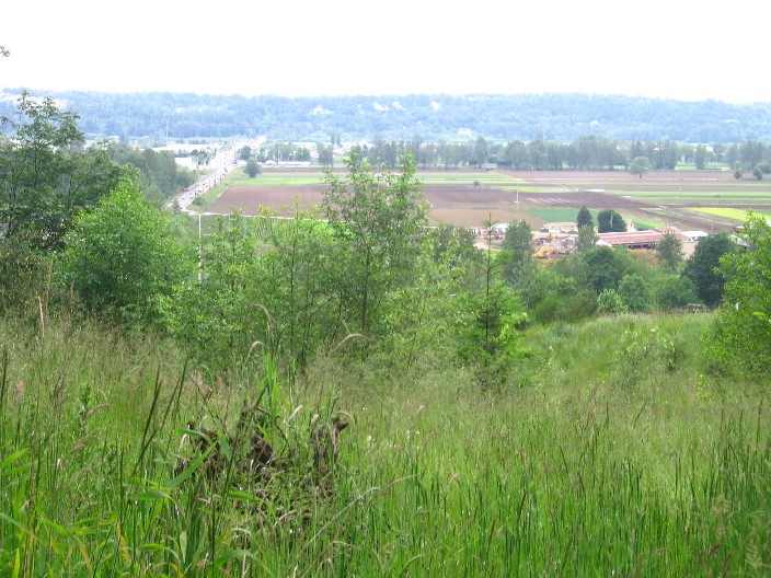
View of the valley after climbing up 200+ feet
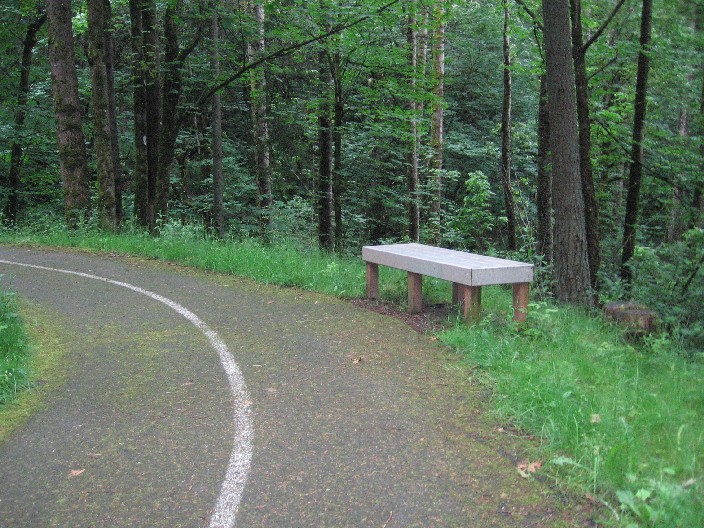
A couple benches await the tired climber
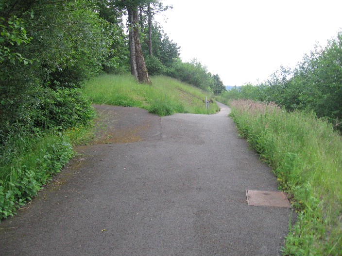
Trail branches off. Right fork goes down the hill, left fork goes ???
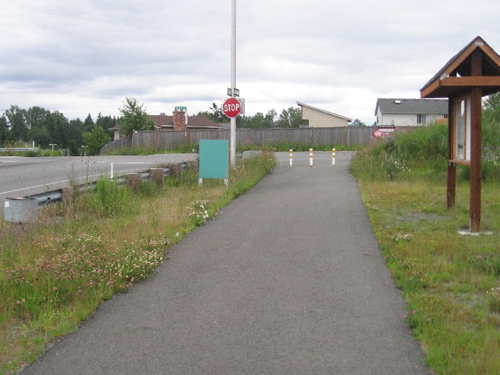
Trailhead on 108th Ave SE
After crossing 108th, the trail heads downhill and merges into sidewalk
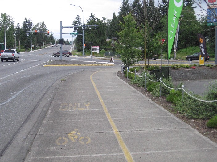
Road curves to the north, becoming 116th. Bikers stay to the left.
The wider sidewalk trail ends at Kent-Kangely Road, but bike lanes continue north
|