|
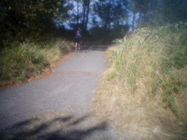
With its trailhead located just off Lenora St. (which becomes Lowell-Snohomish River Road), near Rotary Park, this multi-use trail features a 10-foot-wide paved path that includes views of Mt. Baker, Rainier and the Cascades, as well as numerous wildlife habitats. The paved trail suddenly ends at a fork. To the right there are railroad tracks. To the left an unpaved road stretches back around towards the parking lot.
|
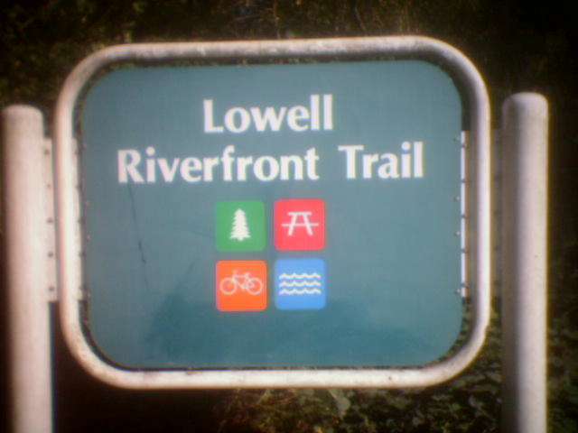
Sign for the Lowell Riverfront Trail
|
Location: Snohomish County
City(s): Everett, WA
|
Length: 1.7 miles.
|
Popularity: Somewhat
|
Elevation: Flat
Gain
Loss
|
|
Facilities |
Trail Condition |
|
Drinking Water:
Yes
Restrooms:
Yes
Benches:
Yes
Picnic Tables:
Yes
|
Surface Type:
Paved
Surface Quality:
5
Scenery:
6
Lighting:
0
|
Ratings: 0 = none/ the worst
5 = average
10 = excellent
|
Website: http://www.everettwa.org/parks/default.asp?sectionid=2&parentid=1&subid=28
|
Maps:
Times article w/ map
|
Directions: From Interstate 5 heading northbound, take Exit 192 (exit to the left), bear right on the ramp for 41st Street Southeast, turn left off the exit ramp onto 41st Street, and turn right on South 3rd Avenue. Turn left on Lenora Street/Lowell-Snohomish River Road, and the park entrance is on your left. Heading southbound, take Exit 192, turn left onto 41st Street, and follow as above.
|
Photo Gallery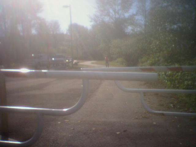
South end of the LRT near the boat launch area
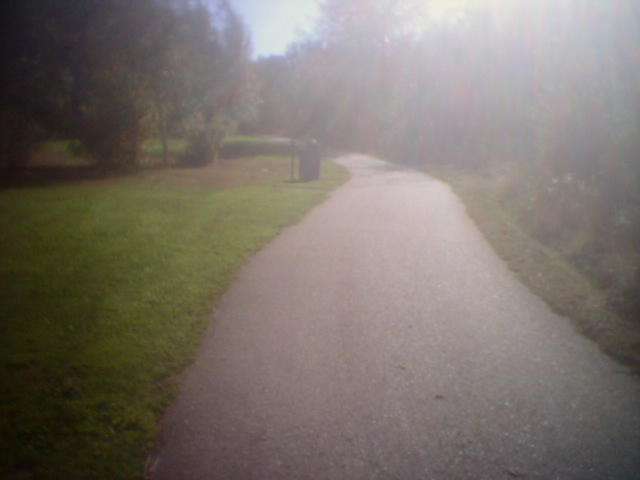
In the middle of the LRT
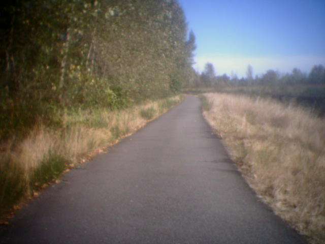
Near the north end of the trail
North end of the paved trail - it's gravel from this point on
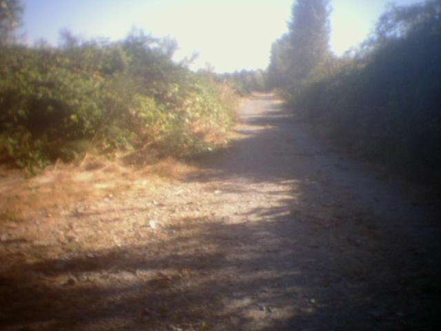
If you have a mountain bike, hang a left at the end of the paved trail for an unpaved loop
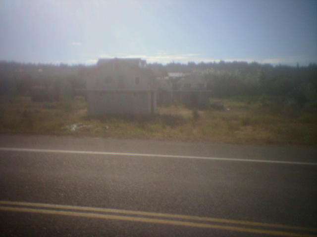
Nearby houses are sometimes on platforms to avoid floods
|