|
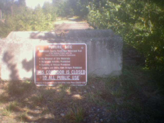
Trail heads from Arlington towards Darrington, following the north fork of the Stillaguamish River and occasionally nearing or crossing highway 530. Six miles of the trail, from Arlington to Swede Heaven Road, is open to the public. The remainder of Whitehorse trail will remain closed until bridge railings and decking can be installed. The surface is the original railroad ballast with future plans for gravel.
|
West end trailhead
|
Location: Snohomish County
City(s): Arlington, Darrington, WA
|
Length: 27 miles.
Approx
|
Popularity: Unknown
|
Elevation: Unknown
Gain
Loss
|
|
Facilities |
Trail Condition |
|
Drinking Water:
No
Restrooms:
No
Benches:
No
Picnic Tables:
No
|
Surface Type:
Unpaved
Surface Quality:
Scenery:
Lighting:
|
Ratings: 0 = none/ the worst
5 = average
10 = excellent
|
Website: http://snohomishcountywa.gov/Facilities/Facility/Details/Whitehorse-Trail-105
|
Maps:
Bike Map
|
Connections:
1. Connects with the Centennial Trail
|
Expansions:
1. The Centennial Trail Coalition holds regular meetings that involve future expansion of the Whitehorse Trail
|
Directions: Trail begins north of downtown Arlington next to Highway 9. Trail ends near the IGA in Darrington.
|
|
|