|
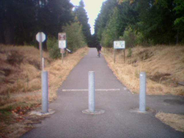
The Chehalis Western trail starts in southern Thurston County near the town of Rainier. It branches off from the Yelm to Tenino Trail and is ADA-compliant. The trail follows an old railroad grade through rural and suburban scenery. There is an at-grade crossing at Pacific Avenue that will eventually be crossed by a bike bridge. From Pacific the trail heads north next to a shopping center. Around the 14-mile mark the trail crosses Interstate 5 on a bicycle bridge, then the newly-opened Martin Way bike bridge. From there the trail sneaks north between houses and apartment buildings until it reaches a rural area with horses in open meadows alternating with stretches of woods and small lakes. There are occasional connecting dirt trails to local neighborhoods and one short paved connection to the back of Group Health. The end of the trail northbound connects with a hiker-only trail that leads down towards the water. A horse trail parallels much of the trail. Now and then you will see "presents" on the trail left by thoughtful horses; and perhaps quail or pea-hens.
|
The trailhead on Martin Way
|
Location: Thurston County
City(s): Olympia, Lacey, Rainier, WA
|
Length: 22 miles.
|
Popularity: Rather
|
Elevation: north to south
Gain
160
Loss
65 |
|
Facilities |
Trail Condition |
|
Drinking Water:
No
Restrooms:
Yes
Benches:
Yes
Picnic Tables:
Yes
|
Surface Type:
Paved
Surface Quality:
8
Scenery:
7
Lighting:
0
|
Ratings: 0 = none/ the worst
5 = average
10 = excellent
|
Website: http://www.co.thurston.wa.us/parks/Trails/cw-trail.htm
|
Maps:
Seattle Times Map & Article
Southern part of Trail Map
Thurston County Bike Map
|
Connections:
1. Connects to the Yelm-Tenino Trail at milepost 21.
2. Connects to the I-5 Bike Path near a small shopping mall.
|
Expansions:
1. The bridge over I-5 was completed and other bridges will soon make road crossings easier.
3. Bridging the Gap information
|
Directions: Use I-5 south from Tacoma and get off at Exit 109 West. Go slightly more than half a mile to Sleater Kinney Road and turn right. Proceed north for 5 miles, and then turn left on 56th Avenue NE, right on Schinke Road NE and then left on Woodard Bay Road. Look for the Department of Natural
Rsources (DNR) signage to your right. There is a designated free parking area. Parking is also off Woodard Bay Road, just north of Lemon Road. Access in the southern section of trail along 4000 block of Martin Way, near bus stop, and at cross streets, including 26th Avenue and South Bay Road. Trailhead with parking, restrooms, and picnic tables at the Chambers Lake Boat Launch, east of Elizabeth Avenue and Fones Road intersections. Access from other road crossings, including Yelm Highway, east of Indian Summer Golf Course
|
Photo Gallery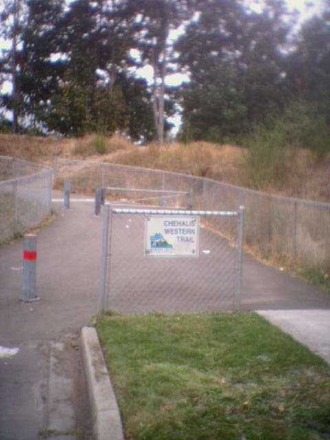
Trailhead at 12th St in Lacey

The trailhead off Pacific Ave
|