|
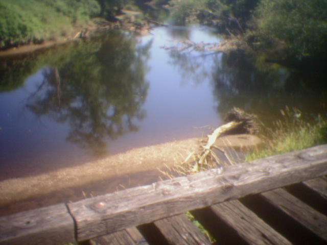
Winding its way from Chehalis to South Bend, this trail visits some remote wooded and rural scenery and a few small towns. The trail is paved from South Bend to Raymond, and is primitive after that. The surface varies from dirt to rough gravel, and at times is difficult to ride on. Even the so-called "improved" section from Pe Ell to Dryad has moments of rough gravel in the mix. The approximately 10 bridges in the unimproved section are passable though you will have to walk your bike across carefully on many of them, taking care not to fall through the 1-foot gaps between railroad ties into the creek below. In the improved section the bridges are paved and have railings. The only public facilities from Raymond to the mid-section of the trail are at Pe Ell. (And the Pe Ell bathroom was locked at 4:30pm on a Sunday afternoon!) Bring plenty of water and food! Highway 6 is usually nearby, though sometimes not easily accessible. [Note: Reviewer rode trail from milepost 53 in Raymond to milepost 20 near Dryad in 2005.] The final 5 miles of trail approaching Chehalis are now paved. A couple of the trestle bridges got washed out by floods in 2007.
|
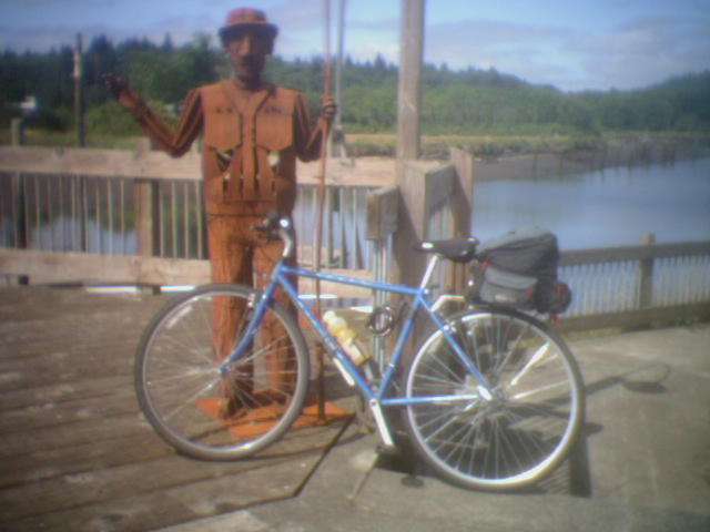
The statue of a fisherman guards my bike in Raymond
|
Location: Lewis County
City(s): South Bend, Raymond, Pe Ell, Chehalis, WA
|
Length: 56 miles.
|
Popularity: Deserted
|
Elevation: west to east
Gain
650
Loss
0 |
|
Facilities |
Trail Condition |
|
Drinking Water:
Yes
Restrooms:
Yes
Benches:
Yes
Picnic Tables:
No
|
Surface Type:
Mixed
Surface Quality:
2
Scenery:
9
Lighting:
0
|
Ratings: 0 = none/ the worst
5 = average
10 = excellent
|
Website: http://www.parks.wa.gov/trails.asp
|
ALERTS:
|
Effective: 8/1/2005 - 1/1/2030. Many of the bridges on this route are passable, though you will need to walk your bike across, carefully balancing to keep from falling between railroad ties into the water/ bushes below. The primitive bridges are at approx. mileposts 50, 49, 45.6, 40.4, 38.8, 38, 35.8, 33.8 (long), 25, 24, 22. (Did not scout beyond milepost 8, or from 53 - 56 - though this last section should be OK since it's paved between Raymond and South Bend.)
|
Effective: 8/1/2005 - 1/1/2030. At around the 44.5 mile mark of the trail, there is a "Beware of Dog" sign. After passing this, I heard at least 2 dogs barking and one black and white dog chased me. Got off the bike, yelled and waved at the dog and he backed off though he did keep watching me. If you're headed east at this point, outrunning the dog may not be an option since there is a railroad bridge that you will have to walk across (and avoid falling between slats) in 0.15 miles.
|
Maps:
Chehalis-area trails
|
Expansions:
1. The eastern 5 miles of the trail from Chehalis towards Adna is now paved
|
Directions: In Raymond, look for where the trail crosses highway 101 right next to the start of Highway 6. (Watch for the silhouette statues of various wildlife, including a biker.)
|
Photo Gallery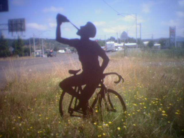
A bicycle statue takes a drink on the trail in Raymond.
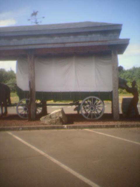
Covered wagon outside a Raymond museum
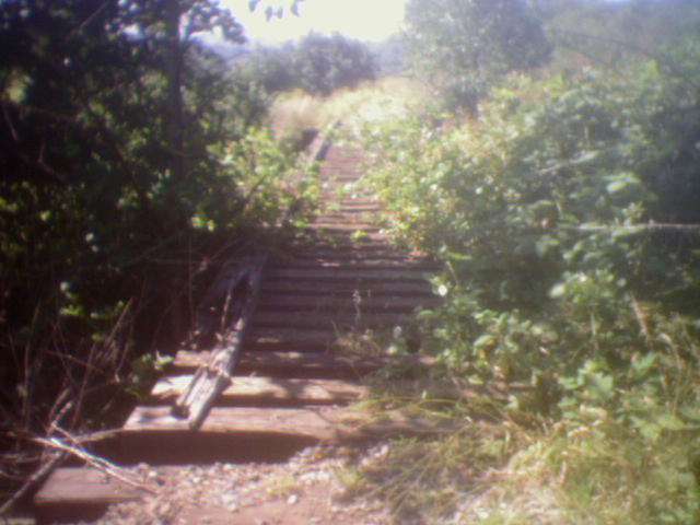
Many of the bridges look like this. Watch your step!
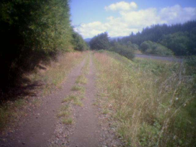
Trail with highway 6 in the background
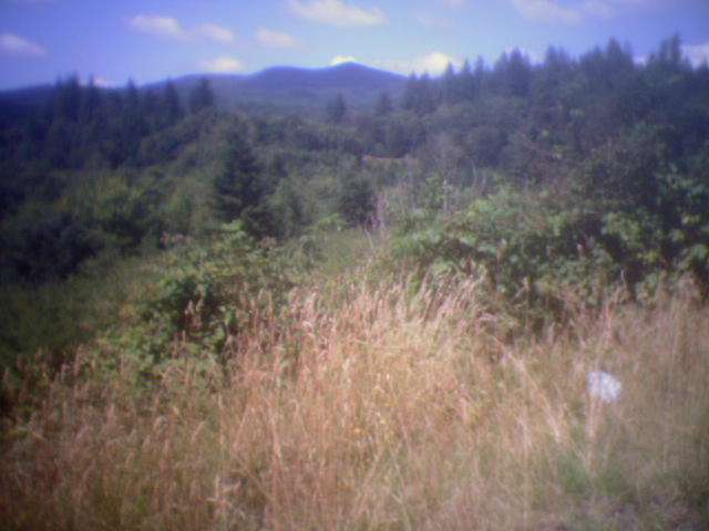
The Willapa Hills
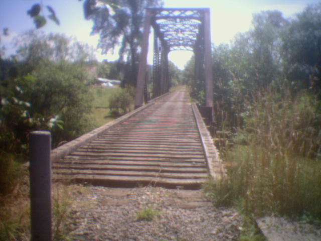
The longest bridge. Right after being chased by a dog!
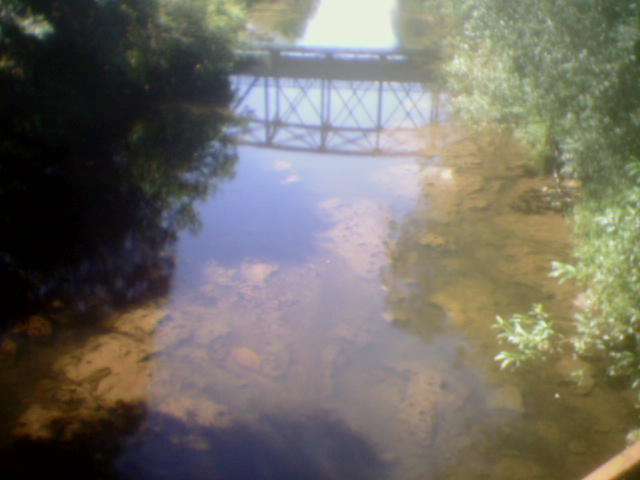
View from the bridge
View from another bridge
|