|
The views continually change as this trail meanders through farmland, business parks and downtown streets. The north section nestles between the river and fields, while the southern section ends next to fishing grounds on the river.
|
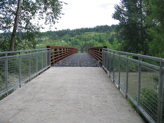
One of several bridges on this trail.
|
Location: Pierce County
City(s): Sumner, WA
|
Length: 8 miles.
(includes 1 mi bike lane)
|
Popularity: Somewhat
|
Elevation: Mostly flat
Gain
30
Loss
30 |
|
Facilities |
Trail Condition |
|
Drinking Water:
No
Restrooms:
No
Benches:
Yes
Picnic Tables:
Yes
|
Surface Type:
Paved
Surface Quality:
9
Scenery:
7
Lighting:
0
|
Ratings: 0 = none/ the worst
5 = average
10 = excellent
|
Website: http://ci.sumner.wa.us/living/parks-trails/trails/
|
Maps:
Pierce County Bike Map
Regional Trail Plan
Sumner Link Trail (PDF)
|
Connections:
1. A short trip across a bridge with bike lanes at the south end of the trail connects to the Puyallup River Trail.
2. Connects to Lakeland Hills Trail at the north trailhead -- cross 8th St/ Stewart St and turn east.
3. Comes within a few miles of King County's Interurban Trail.
4. Close to the Foothills Trail.
|
Expansions:
1. Sumner plans to add additional trail between Main St. and Puyallup St. Currently the alternative is to ride the bike lanes along Fryar Ave.
|
Directions: http://ci.sumner.wa.us/living/parks-trails/trails/directions-services/
|
Photo Gallery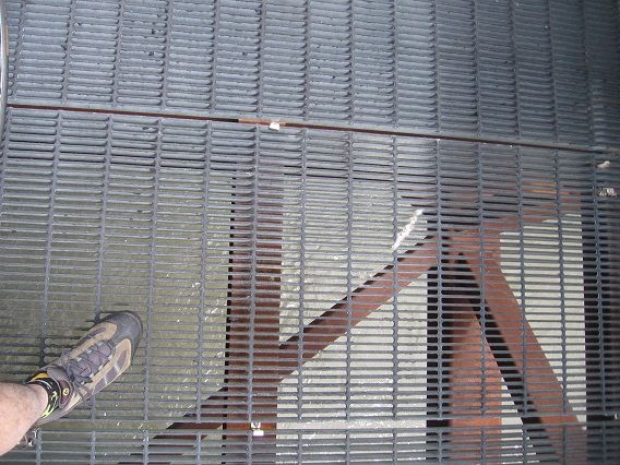
Look down on this bridge and you'll see water between your toes!
|