|
Paved path that hugs the side of 520 from Redmond to near the 405 interchange in Bellevue. A new section begins at 108th Ave NE and heads west to Evergreen Pt Road - parts of it are open now (see pictures) and parts are set to open around the end of October 2014. There is a fence between car traffic and the trail, and sometimes a wide buffer. Rather hilly -- the steepest section is the start in Redmond, where the trail goes from 70 feet to 400 feet elevation in the first 4/10 of a mile. There are no stops on the western half from NE 24th St to 148th, but road crossings exist at 148th Ave, 40th St, 51st St. and West Lake Samm. Pkwy. Trail surface is good, though occasional road debris migrates into the trail and vines grab lazily at the edges. Watch out for rabbits and maybe a shy coyote in the section between 51st and 148th, especially at night. The newest section of trail is partially open as of 10-19-14 but some of the underpasses still need paving. An anonymous source told me they should be done with this section by about the end of October.
|
Eastern end of the trail branches off from the Sammamish River Trail just west of the ped bridge.
|
Location: King County
City(s): Redmond, Bellevue, Hunt's Point, Medina, Yarrow Point, WA
|
Length: 8 miles.
(approx)
|
Popularity: Somewhat
|
Elevation: NE 24th to West Lake Samm Pkwy
Gain
160
Loss
380 |
|
Facilities |
Trail Condition |
|
Drinking Water:
No
Restrooms:
No
Benches:
No
Picnic Tables:
No
|
Surface Type:
Paved
Surface Quality:
8
Scenery:
3
Lighting:
7
|
Ratings: 0 = none/ the worst
5 = average
10 = excellent
|
|
Maps:
Bellevue Bike Map
Bikely Map of entire trail
Detour route for trail closure
King County Bike Map
Map to west end of trail
Redmond Bike Map
|
Connections:
1. Connects to Sammamish River Trail near the bike bridge over the slough on Leary Way.
2. Connects to Bear Creek Trail at the eastern end. Go across the ped bridge and loop around to the left under the bridge.
3. Connects to Points Loop Trail (parallels 520 westward) via NE 24th St (westbound), Northup Way, NE Points Drive
4. Connects to Lake Washington Loop via NE 24th St (westbound), Northup Way to 108th Ave or Lake St/ Bellevue Way
5. Intersects the Bridle Crest Trail at NE 60th St. (Go left to 152nd Ave for west section of trail, go right then turn right on 156th Ave and go through the park on your left for the east section.)
|
Expansions:
1. The state is extending the 520 trail westward to the 520 bridge and UW (see map on page 4)
2. Redmond's long-term plans recommend grade-separated crossings for the 520 trail at 40th St (item #8), 51st St (item #10) and West Lake Sammamish Parkway (see item #176).
3. Plans have been proposed to replace current road crossings with tunnels or bridges.
|
Directions: East trailhead connects with the Sammamish River Trail next to Leary Way. West trailhead is on NE 24th St, 1 block west of 124th Ave NE. Follow NE 24th St westward, go RIGHT on Northup Way (no shoulder, narrow lanes until about 108th Ave). The newest section of trail begins on the south side of Northup Way at 108th Ave and heads west, passing under Bellevue Way and NE 92nd Ave and hugging the north side of 520. Sometime in 2016 the trail across the new 520 bridge is supposed to open to allow rides to the U-District in Seattle!
|
Photo Gallery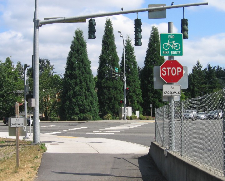
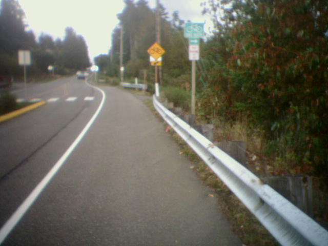
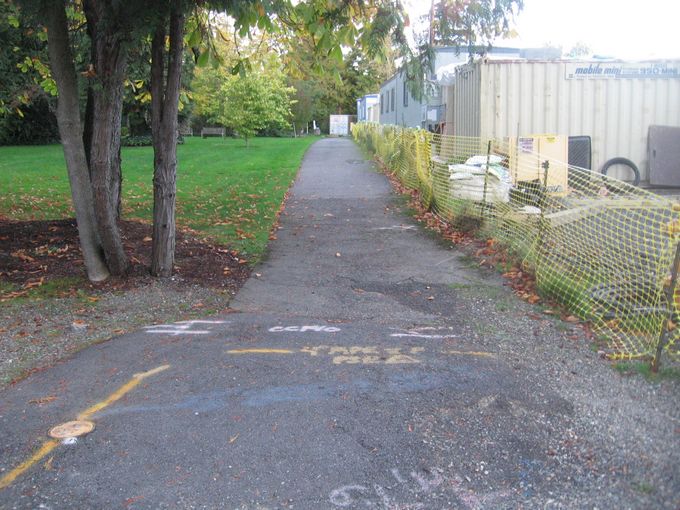
Cross West Lake Sammamish Parkway and continue a couple blocks along Leary Way to trail junction.
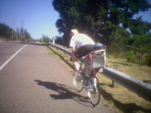
This descent into Redmond will get your blood pumping.
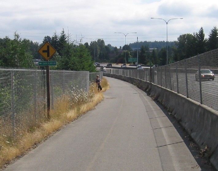
Exit for NE 60th St and the unpaved Bridle Trail.
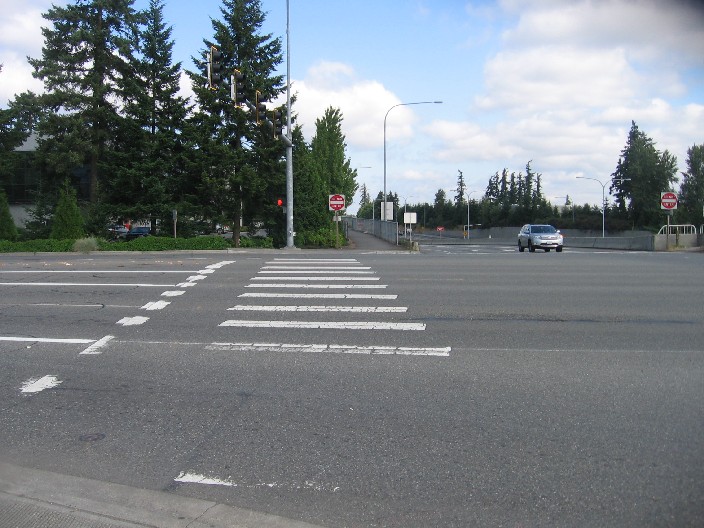
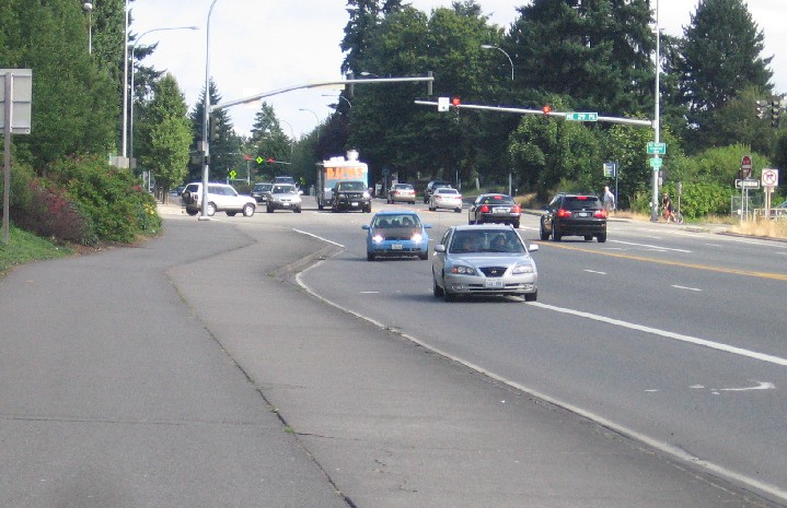
Crossing 40th Street - gateway to Microsoft.
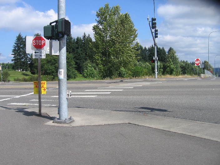
The crossing at 51st Street. Beware distracted motorists!
The trail had to be dug deeper to pass under the new bridge.
A new bridge over 520 allows entrance to the trail from a bike lane. No signage though…
Paralleling 148th Ave, just south of the crosswalk
The stretch of trail up to 148th Ave may have you switching into 'granny gear'
The 140th Ave exit takes you into a small shopping center.
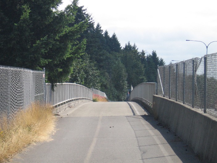
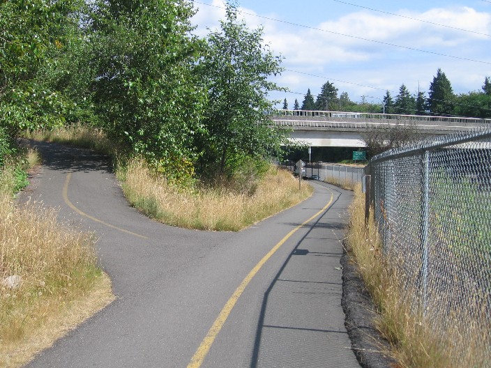
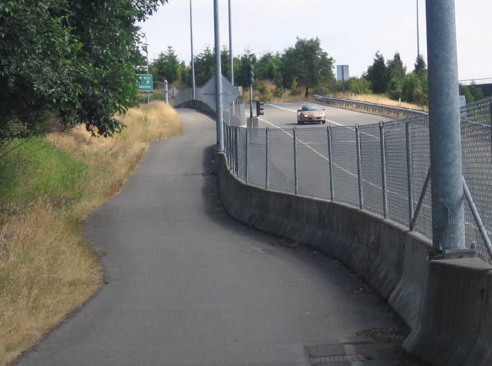
When the freeway was widened, they were kind enough to build a bike bridge too!
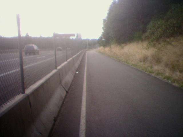
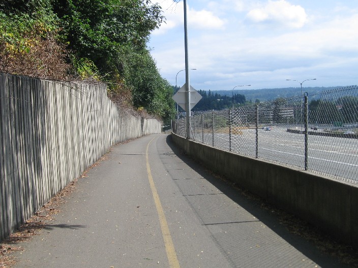
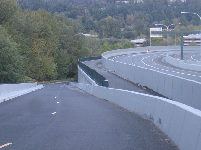
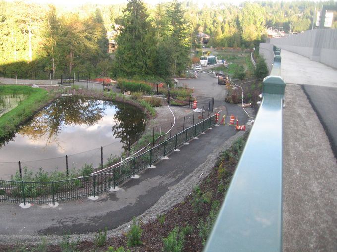
Near the west end of the trail, the freeway is just on the other side of a concrete divider.
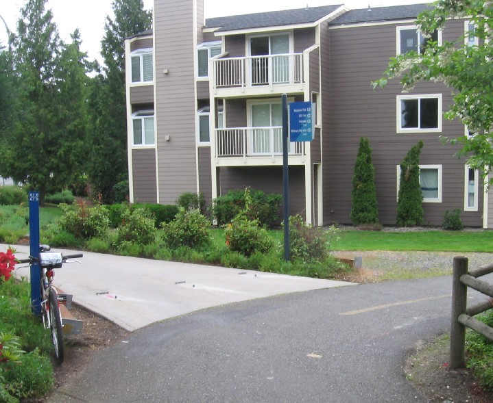
West trailhead for the trail.
The hill on NE 24th St just west of the trail is rather long, but the shoulder is wide.
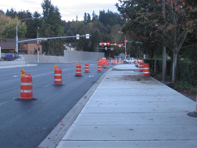
The newest section of trail begins at 108th Ave and follows a wide sidewalk for a few blocks.
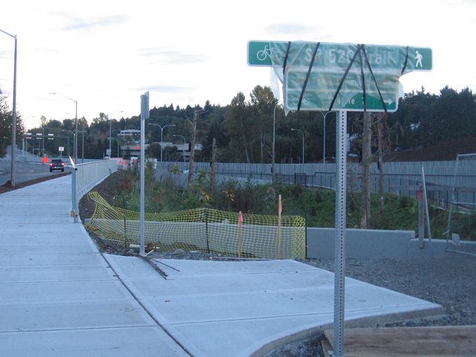
Signs point the way from Northup Way.
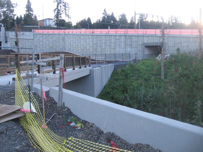
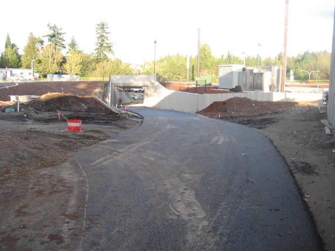
The trail crosses a bridge, then heads under Bellevue Way through a short tunnel. (Not yet open)
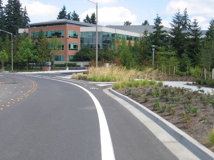
The view from Points Drive. The new trail is on the right next to 520.
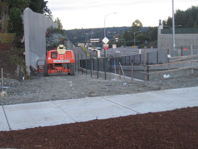
A ramp down from 92nd Ave is still under construction as of mid-October. Points Drive is the detour.
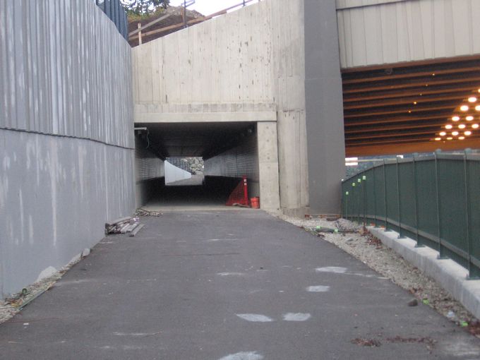
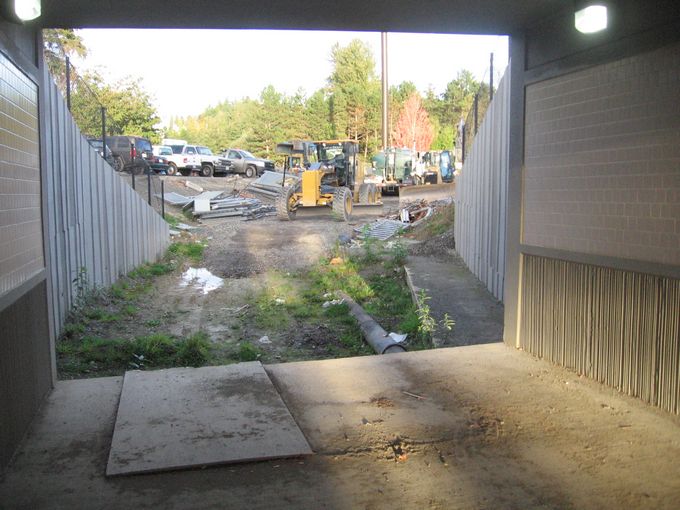
Tunnel under 92nd Ave, which is not quite open yet
See? I told you it wasn't ready for primetime yet.
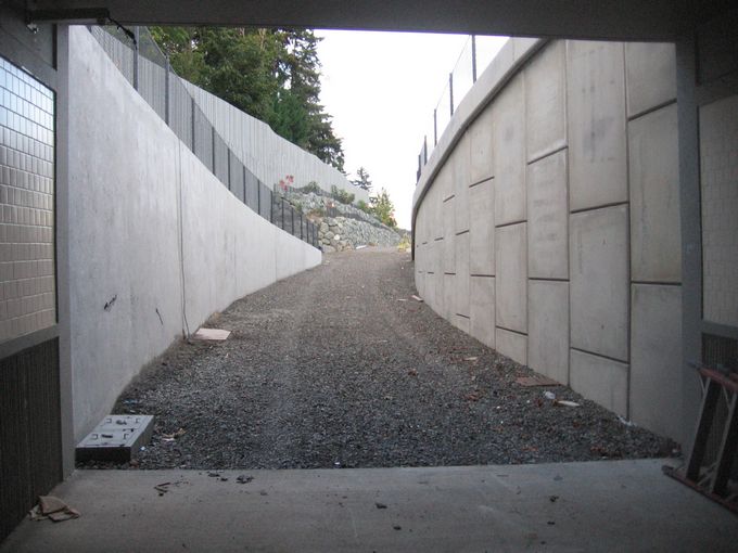
Old trail to the left and new trail to the right.
The old trail (left) leads down a slope while the new one stays more level.
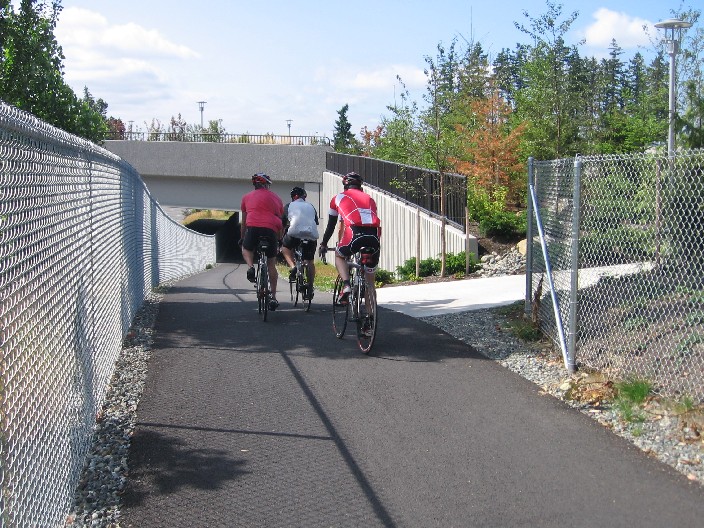
Trail leads under 84th Ave.
CORRECTION: Trail WILL lead under 84th Ave. Still under construction in mid-October.
Until the underpass is ready, a detour takes you east off 84th Ave just north of the traffic circle.
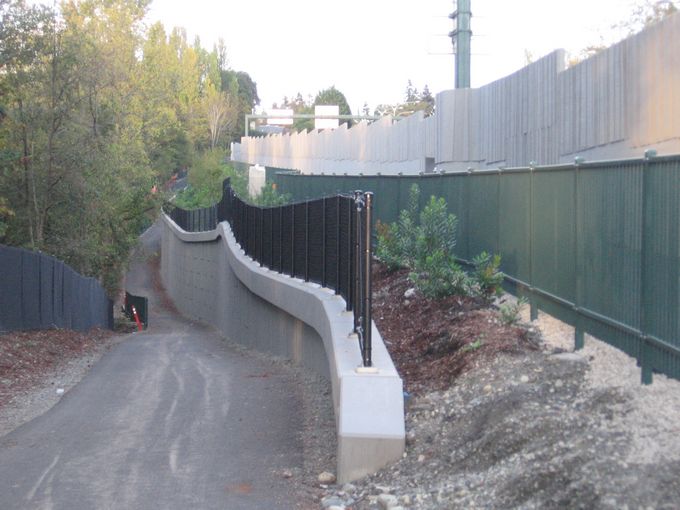
A side trail leads down to 80th Ave NE and the Fairweather Nature Preserve.
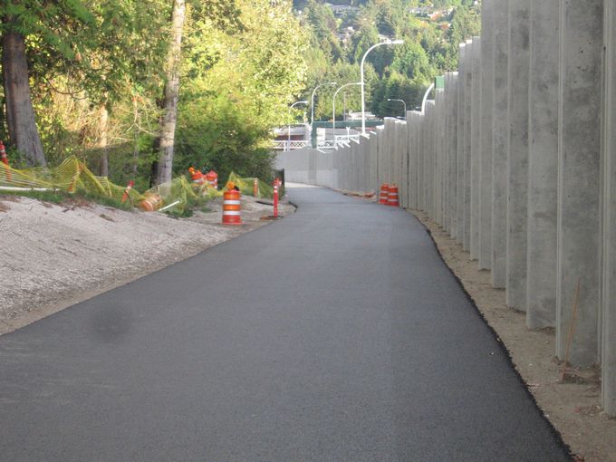
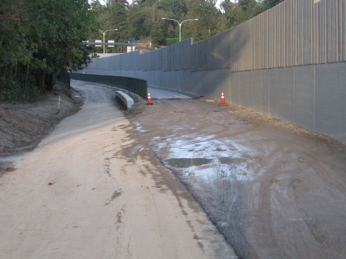
Freshly paved, this trail is open in many sections already.

The current end of the trail is on Evergreen Point Road.
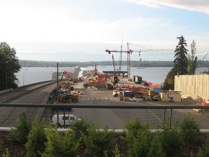
The new 520 bridge (to right) will include a bike bridge to Seattle's U-District, set to open 2016.
|