|
Parts of this trail exist, and parts are in the planning stages. Southern section of the trail heads up past Cascadia College on a paved path for a few blocks, then crosses I-405 eastbound on the street and resumes by turning left and using the trail system of an office park for about a mile. A new segment parallels the road and leads into another office park's trail system. The trail appears to end on a road, but turn right on the road and then left at the next intersection to rejoin the trail, which ends at the Bothell-Everett Highway. The Mill Creek segment of the trail starts at the south end of McCollum Park & Ride, and heads south along North Creek. The former gaps in the trail in Mill Creek have been filled in. This section has some minor up and downhill grades and winds around some tight curves, hugging the line between river and shopping center. There is another trail at North Creek Park that has been "adopted" by the trail planners - but it's not suitable for bicycles because it goes through a wetlands on a narrow boardwalk where bicycles are not allowed unless you walk them. The easiest way to connect the 2 trail segments is through use of the Bothell-Everett Highway, a busy 6-lane road with bike lanes.
|

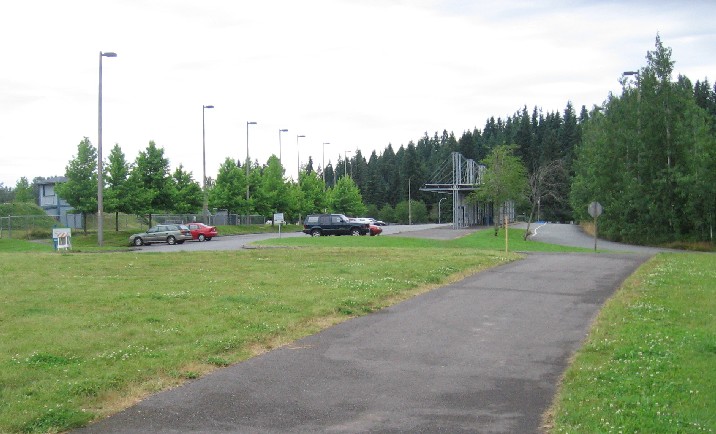
The trail heads east from the I-405 crossing into a business park.
|
Location: Snohomish County
City(s): Bothell, Everett, Mill Creek, WA
|
Length: 8.5 miles.
(currently)
|
Popularity: Rather
|
Elevation: 100 south segment, 150 north section
Gain
250
Loss
0 |
|
Facilities |
Trail Condition |
|
Drinking Water:
Yes
Restrooms:
No
Benches:
Yes
Picnic Tables:
Yes
|
Surface Type:
Paved
Surface Quality:
8
Scenery:
7
Lighting:
0
|
Ratings: 0 = none/ the worst
5 = average
10 = excellent
|
Website: http://cityofmillcreek.com/Facilities/Facility/Details/North-Creek-Trail-19
|
Maps:
Article about trail routes
Bothell North Creek Trail maps
Mill Creek parks map
|
Connections:
1. Connects to the Sammamish River Trail 1.1 miles north of downtown Woodinville (near bridge over North Creek)
2. Eventually will connect to the Interurban Trail near the old drive-in movies in Everett. Currently the connection is on 128th St SE -- a busy street with no shoulders -- for about 2 blocks. (There is a sidewalk on the south side of the road.)
|
Expansions:
1. Bothell is working on a portion of the trail west of the Bothell-Everett Highway.
2. Snohomish County has plans to expand the trail to eventually link the Sammamish River Trail and the Snohomish County Interurban Trail.
|
Photo Gallery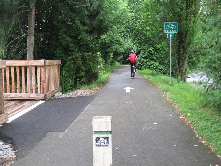
Heading north from 195th St.
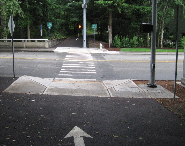
Crossing a road.
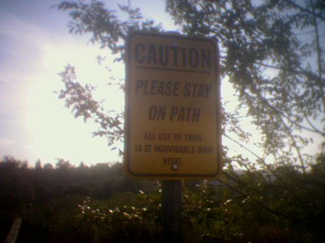
Sign in the business park - use at your own risk!
Trail turns to a soft dirt surface for about 1/2 mile.
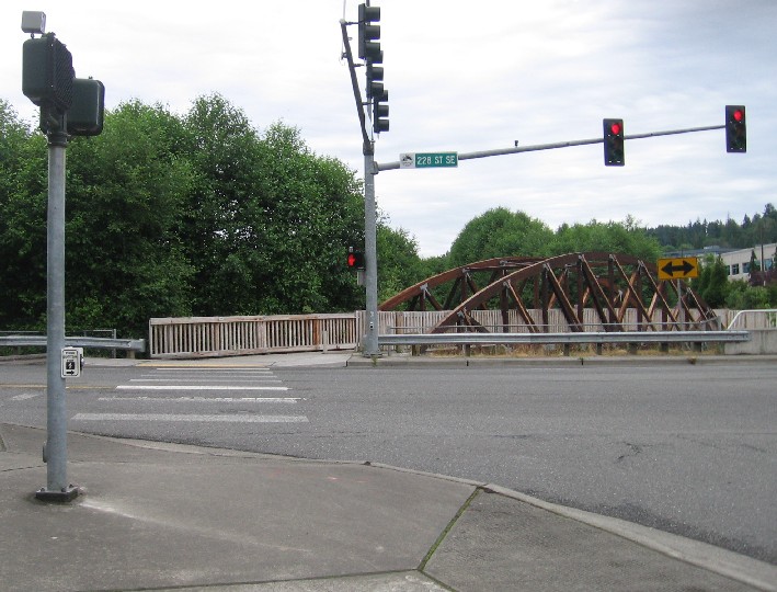
Trail crosses 228th St in Snohomish County.
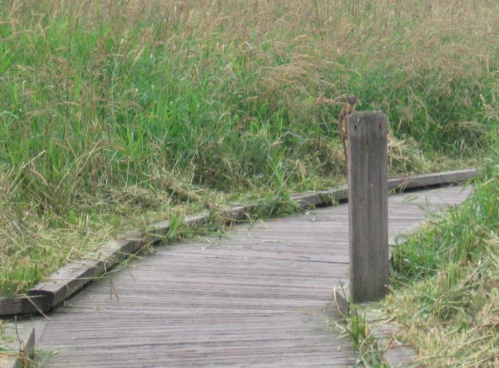
A weasel watches in North Creek Park.
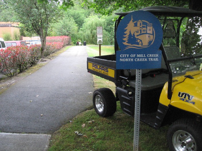
Trailhead in Mill Creek where the northern section of trail begins.
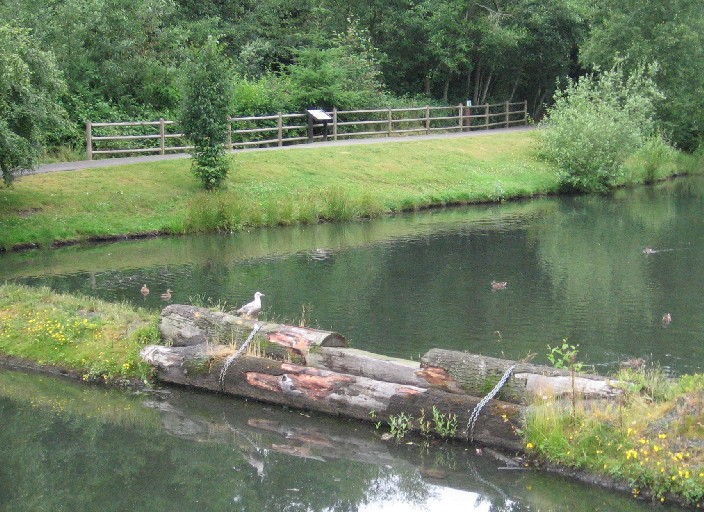
Wetlands next to the trail.
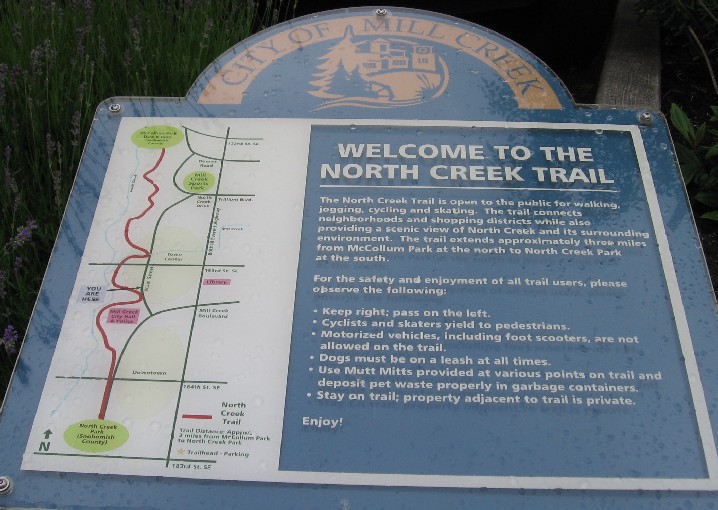
Map to the northern section of trail.
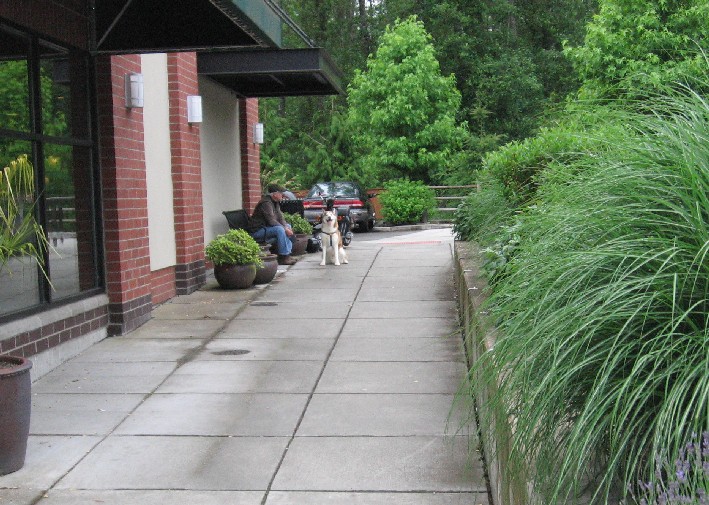
At times the trail changes to sidewalk.
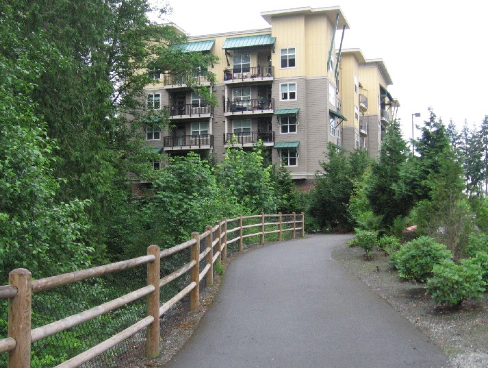
Condos overlook the trail.
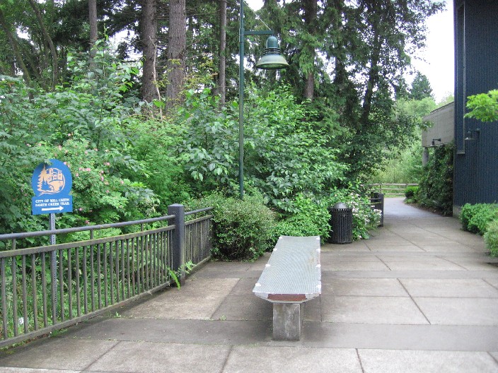
A bench beckons to the weary.
Trail's northern end near the McCollum Park & Ride
|